|
Host
- 1 -
- 2 -
|
|
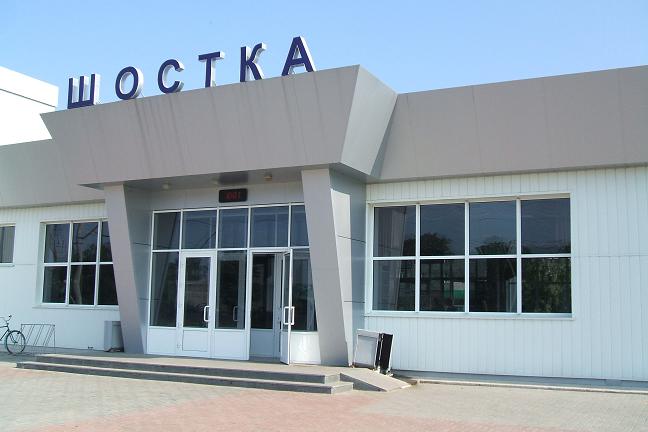
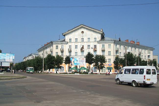
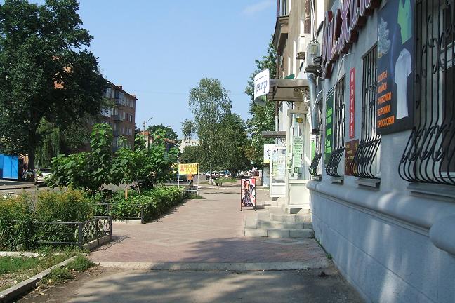
Shostka-city
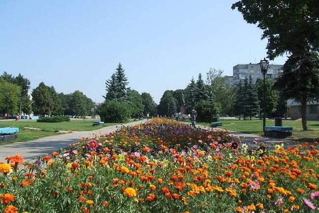
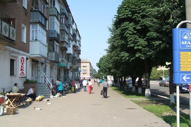
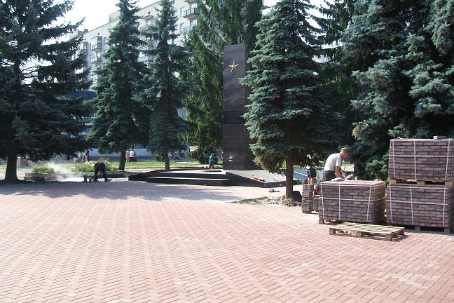
Shostka - a city in the Sumy region of Ukraine, an administrative centre of Shostkinsky area (with 1923). It is located on the river Shostka, inflow of Desna.
The population of 85,8 thousand inhabitants (2004).
Is the important centre of the chemical industry. The enterprises food and woodworking the industries.
Shostka it is based in XVIII century. Initially - Cossack settlement. In 1739 in Shostka the powder factory has been constructed. In XIX century - village of Gluhovsky district of the Chernigov province. Has the status of a city with 1920.
Shostka owing to the geographical position, and also in view of development of an infrastructure is ideal base for tourist routes of region.
City Internet portals:
Shostka.net
V.D.Kirievsky. The CHESTA-SHESTA-SHOSTKA
Blossoming nomadic Khazars in steppes from Volga to Dnepr has dropped to the end of VIII century when on slavic earths just won by Khazars Dnepr Left banks has passed a wide field between wood and forest-steppe on a watershed between the Diet and Psyol, Desna and Sula there passed an overland trading way to an advanced post khazars on Dnepr - to Kiev from Itil - capitals the Khazar near a mouth of Volga, and in IX century further away „from the Khazar to Germans (Bavaria)", the states about 843 years to Regensburg on Danube are more exact to capital southern-frankskogo.
The first stage of Khazar (Turkic) gains of Slavs has begun in the end of VII century. At this time in our corner of the world there lived tribes kolochin archaeological culture (VI - VIIст.) which it was formed of alien tribes from northern woods Balt and the rests of Slavs kiev archaeological culture (III-Vst.). Carriers of last about V century have started to move to Danube to suburbs of the dying away Roman empire where, probably, and have received from southern Slavs the new name - Siver. The density of settling of edge kolochin during the first aggression the Khazar was in 5 times smaller, than kiev, so, the edge was almost deserted, therefore the rivers were the basic means of communication kolochin. The then river Lokotka was spring, deep, hidden in continuous woods. Just right near the former spring, there, where Lokotka crosses an embankment not completed the day before І railway world war on Gluhov, on a slope treeless (bared) hill, in 2001 the Sumy archeologists have found out the settlement rests kolochin archaeological culture. In 2002 kolochin the ceramics has appeared in excavation at confluence Lokotka in Shostka. Last was in VI century for kolochin by to Desna, and is possible, and to the Diet as upper course Shostka and Esman had then the general, incorporated rodnikovo-marsh pool. Possibly, in old woods ancient prodrivings along the rivers, in particular along the river Krupets to the Mironovsky bog, and therefrom along the river Fierce to Ivotka have remained.
With arrival in Podunavie in the end of VII century of the Bulgarian horde from Priazovye the part siver comes back to woods Podesenie, Poseimie, Posulie (romenska the culture) and gets under sovereignty the Khazar which from the middle of VIII century have accepted a Judaism and have begun the second (Arabian) stage of a gain of the slavic earths already as citizens Arabian caliphate (Bagdad), trading intermediaries as are more exact than Bagdad, and China. The capture under the definitive control of waterways and formation of new overland roads - both main transit, and minor trading - through a concentration new colony farmers on fertile steppes of Polesye between Desna and the Diet was an overall objective of Khazar (Arabian) aggression. Not to be easy extraction the Khazar, northerners erect everywhere strengthenings - sites of ancient settlement and pay a moderate tribute to Khazars.
The shortest on distance the message along coast Esmani and Shostka should be the first road from the Diet to Desna, certainly.
Convenient trade with Khazars itself has cleared the way, or has blazed Torna (the road on Etruscan language), has cleared away - Chesta (the road on Czech), and in our pronunciation was altered in the Shesta, Shestka , Shostka. The old name of pure road from the wood, introduced from coast of Danube, it was fixed to new road, probably, designated by columns (poles) from the Diet to Desna, in particular lengthways our river which was the main sign - shestka a trading way, and in due course and remained behind the river as Shestka. Under this name our river has got to the first document from history of geography of edge - the Reading and writing of 1551 of Moscow tsar Ivan IV on possession Novgorod-Severskogo the Spasky monastery, in particular on beehive grounds in old woods on the river, Shestka".
Let's not think, how much correct this road version of the name of the river, but a way along it from Gluhov to Desna by right should carry the name Shostkinsky. Certainly, it not such old as river, that reaches neolith times when strategic substance we had not a gunpowder, and flint. That flint which fragments find on coast Shostka. The present silicon tools of work found archeologists near has sat down Slout on the average watercourse Shostka, and on the river Ivotka has near sat down Antonovka archeologists have found out late Stone Age a workshop on manufacture of silicon knifes and other necessary things late Stone Age centuries. It is known, that extracted flint on white cretaceous coast of Desna, and carried on edge the rivers, most convenient of which has appeared we Shostka.
|
|